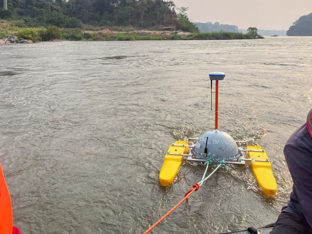
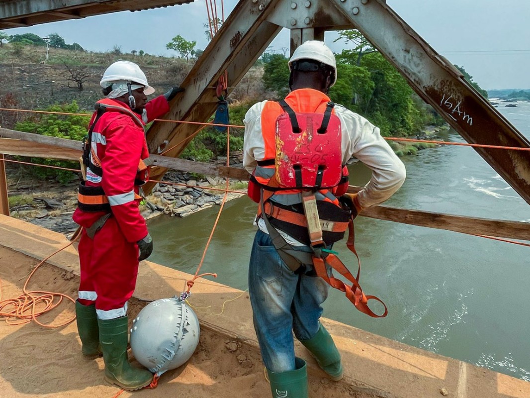
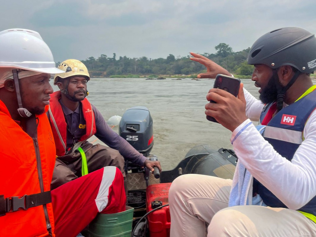
The bathymetric survey of the Sanaga River, conducted from 17 to 27 February 2025 to map the depth and topography of its main channel, has concluded with resounding success. Despite extreme hydrodynamic conditions near the future hydraulic infrastructure sites, the specialist team executed the survey to the highest technical standards, leveraging innovative hydroball technology resistant to turbulence and air bubble interference.
Operating in challenging environments marked by violent currents, complex underwater terrain, and the dynamic main channel, the researchers secured reliable data crucial for adapting the design of the main dam’s foundations and temporary cofferdams (water-retaining structures) to the river’s unique geophysical characteristics. The findings will inform the project’s technical specifications, including 3D modeling of the riverbed, to ensure construction safety and precision.
This survey builds on a complementary 2024 study, marking a critical milestone in safeguarding the structural integrity and long-term sustainability of the Kikot-Mbebe Hydroelectric Development Project. The data will enable engineers to optimize the design of core infrastructure, addressing both safety imperatives and environmental resilience.