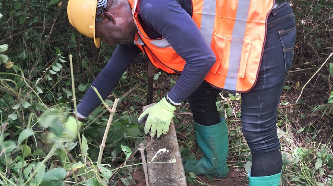
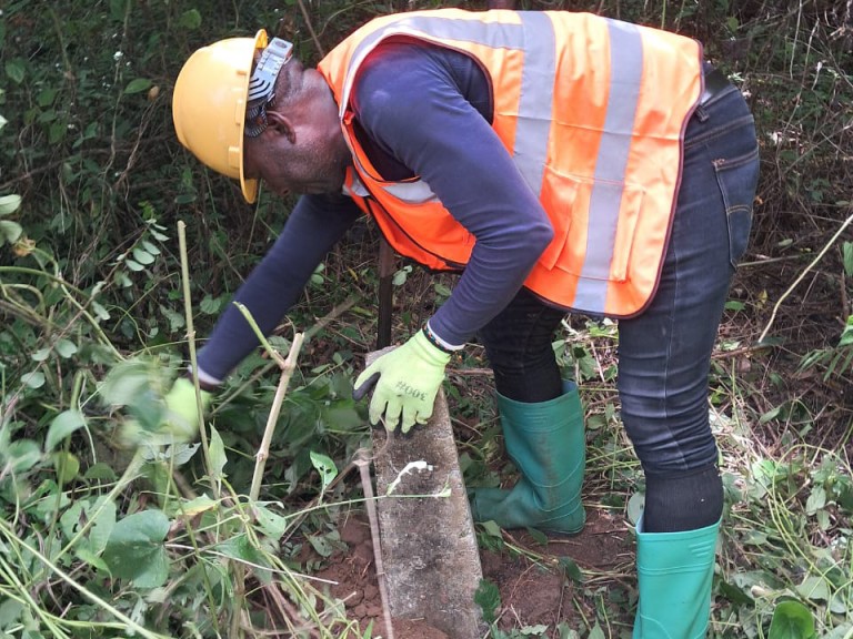
As part of the complementary Declarations of Public Utility (DUPs) for the Project site, relating to the bypass roads, the Binoum aggregate quarry, and the operational base, boundary demarcation operations for the affected rights-of-way commenced on August 4th. This fundamental step involves physically marking the limits of the land prior to conducting the census of affected persons and assets within these areas. Initiated in the Nyong-et-Kellé department, where they were completed last week, the work is now continuing in Sanaga-Maritime.
Conducted by competent cadastral services, these operations follow a strict protocol. Each day, field agents record information in a site logbook, which tracks the linear distance covered and the number of vertices demarcated. The collected GPS data is systematically verified and integrated into the project's geographic database. This monitoring ensures the reliability of the information and will enable the production of progress reports and demarcation completion reports, essential for subsequent steps.
Once demarcation is finalized, the census of Project-Affected Persons (PAPs) can begin on the ground. This key milestone in the release of rights-of-way will pave the way for asset valuation, followed by the signing of classification and compensation decrees by the public authorities.